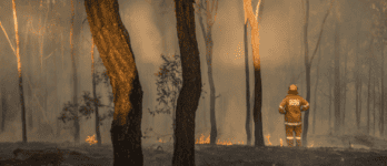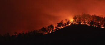
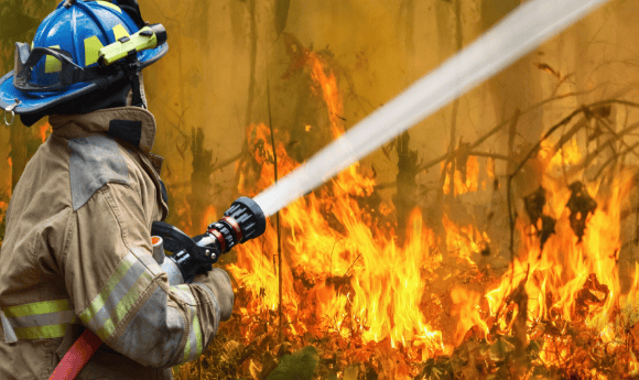
Understanding Bushfire Behaviour
Nationally aggregating data and models on bushfire history and fuel
The following projects are being/were developed as part of the ARDC’s Bushfire Data Challenges.
Project
Aggregated and Harmonised Burnt Extent Fire History Data on a National Scale
Project lead
Geoscience Australia
Who will benefit
State and territory agencies, researchers
Partners
Emergency Management Spatial Information Network Australia (EMSINA), ACT Parks and Conservation Service (ACT PCS), Australasian Fire and Emergency Service Authorities Council (AFAC), NSW Department of Planning and Environment (NSW DPE), NSW National Parks and Wildlife Service (NSW NPWS), Victoria Department of Environment, Land, Water and Planning (Vic DELWP)
Timeframe
September 2021 to October 2023
ARDC Co-investment
$900,000
Description
This work has established a nationally aggregated and harmonised data asset on past fires burnt extent boundaries for Australia. Through collaboration between national, state and territory agencies, standardised state and national products have been produced. This work has supported the agencies for the supply of datasets on geospatial boundaries of past fires to fill a long-standing gap and demand for national fire history datasets. With improved satellite imagery data supply and cloud computing processing power, a satellite derived historical fire history for the nation has also been created. This work will support bushfire research as well as National Emergency Management, National Fire Danger Ratings System and associated risk management operations.
Project
Aggregating and Harmonising Fuel Data on a National Scale
Project lead
TERN
Who will benefit
State and territory government fire departments, and researchers
Timeframe
November 2021 to December 2023
ARDC Co-investment
$480,000
Description
Fuel data describes the combustible materials in a defined space and its related attributes such as type, amount, structure and moisture. Accurate estimation of fuel, alongside information about the type of vegetation at a location is key to managing and mitigating bushfire risk. Multiple organisations across different jurisdictions collect and use fuel data. However, there is no coordinated approach and community standards to harmonise, aggregate and share fuel data parameters across different stakeholders. This work has defined implementation processes and systems for ongoing sharing of fuel data and related attributes for meeting the needs of multiple stakeholders and to better enable Australia-wide bushfire response and preparedness.
Project
Improving Remote Sensing of Fuel Data on a National Scale
Project lead
ANU
Who will benefit
State and territory government fire departments, researchers, and the general public
Partners
TERN, Department of Climate Change, Energy, the Environment and Water (DCCEEW), CSIRO
Timeframe
August 2021 to December 2023
ARDC Co-investment
$200,000
Description
The efficient national monitoring of fuel conditions is very important to understand bushfire behaviour and risk, as highlighted by the Bushfire Earth Observation Taskforce, the NSW Bushfire Inquiry and the National Royal Commission for Natural Disaster Arrangements. This work has contributed towards compiling and sharing existing field and remote sensing observations of fuel attributes such as fuel load, structure and moisture in a national database. This national database is used to improve remote sensing products and is publicly available to support other research programs. The national fuel attributes databases will have direct benefits to bushfire planning and response given the fuel data will also be readily available for assessing bushfire risk, predicting fire behaviour, informing suppression efforts and planning prescribed burns.
Project
A Fire Behaviour Modelling Platform
Project lead
CSIRO
Who will benefit
Bushfire researchers and government agencies
Partners
Australasian Fire and Emergency Service Authorities Council (AFAC), SA Department of Environment and Water, NSW Rural Fire Services, ANU, UQ, TERN, Vic Department of Environment, Land, Water and Planning (DELWP)
Timeframe
December 2021 to June 2023
ARDC Co-investment
$550,000
Description
The fire behaviour modelling platform Spark is now available as a bridge from data acquisition, processing and modelling to operation and assessing bushfire risk. The platform is a proving and testing ground for new data, models and analytics. It is a collaborative, open environment for researchers, agencies and stakeholders, and it is open for use by stakeholders for research as well as operational evaluation. The aim is to create a model where there is a clearly articulated process for translating bushfire research into operational use from a predictive modelling perspective.
Project
Framework for Sharing Bushfire Data and Tools Between Jurisdictional Agencies
Project lead
Australasian Fire and Emergency Service Authorities Council (AFAC)
Who will benefit
State fire and land management agencies
Timeframe
September 2021 to June 2023
ARDC Co-investment
$130,000
Description
The objective of this project was to deliver a robust and enduring framework to facilitate the development of new understanding of bushfire behaviour through simple access to core data sets. This work has looked at technological and trust barriers, and barriers associated with sharing data and tools. The AFAC proposes to use its extensive collaboration network to create an enduring capability.
Project
Aggregated and Harmonised Fuel Data on a National Scale
Project lead
Australasian Fire and Emergency Service Authorities Council (AFAC)
Who will benefit
National and state fire agencies
Timeframe
March 2022 to November 2023
ARDC Co-investment
$350,000
Description
This project has delivered key elements towards a bushfire fuel data commons, supporting the use of the national fuel data in national bushfire simulation and other fire prediction systems. This includes fuel classification, algorithms used to calculate fuel attributes and frequently updated observed fuel attributes such as load, structure and dryness.
Project
Bushfire Research Data Management Plans
Project lead
Natural Hazards Research Australia (NHRA)
Who will benefit
Natural hazards researchers
Timeframe
March 2022 to December 2023
ARDC Co-investment
$300,000
Description
This project developed and implemented a trusted and harmonised research data management framework and data catalogue for natural hazards research. While developed initially for internal NHRA use, the outputs will be made openly available to the research community at large.
Contact the ARDC
Current Phase
Complete