Aggregated and Harmonised Burnt Extent Fire History Data on a National Scale
Uplifting Australian state and territory burnt extent data systems to improve bushfire research and management
Who will benefit
States and territories can create and maintain consistent burnt area data, both historical data and near real-time, and researchers can access fire history data from each state from one national source
Program
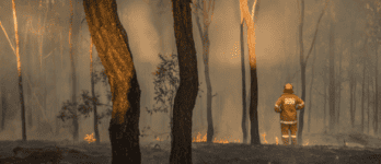
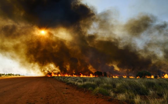
The Challenge
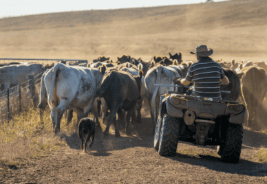
Australian states and territories currently have different practices for recording bushfire boundaries. This data is used for analysing fire behaviour, planning prescribed burns, determining fuel load, understanding the risk of future fires, and validating the environmental impacts of bushfires.
The Approach
The project assessed the maturity of each state’s and territory’s burnt extent data flows and processes to determine where gaps exist and recommend paths forward for uplifting their data infrastructure.
The project supported the uplift of the states’ and territories’ burnt extent data systems. Data from state agencies was aggregated and harmonised into a national dataset. Satellite imagery data for both near-real-time and historic burnt areas was analysed.
The Outcomes
This project has delivered a reliable, consistent historical bushfire boundaries dataset. Download the dataset or view it interactively.
The project has also delivered a:
- report on current bushfire incident mapping and feeds
- approach report for the production of a range of national data products describing the timing, location and extent of bushfires across Australia.
- fire history data dictionary
- report on fire history mapping and feeds.

The project was named the 2023 ACT Winner of the Geospatial Excellence Environment and Sustainability Award by the Geospatial Council of Australia. Read more about the award.
Who Will Benefit
This project enables states and territories to create, maintain and provide consistent burnt area data for an aggregated and harmonised burnt extent and fire history data layer on a national scale.
Satellite imagery from Landsat 8/9 and Sentinel 2 was used to derive nationally consistent burnt areas from both near-real-time response and historical satellite image acquisitions.
Use cases include:
View a presentation delivered by Kane Orr, Project Manager, at the May 2023 Bushfire Data Challenges Forum, which described the project’s use cases in the following areas:
- improving the Australian Fire Danger Rating System
- disaster recovery
- carbon accounting
- Indigenous land management
- water management
- land leases
- urban planning
- insurance
- bushfire research and predictions
- species protection.
The Partners
- Geoscience Australia – Digital Earth Australia (DEA)
- Emergency Management Spatial Information Network Australia (EMSINA)
- ACT Parks and Conservation Service (ACT PCS)
- Australasian Fire and Emergency Service Authorities Council (AFAC)
- NSW Department of Planning and Environment (NSW DPE)
- NSW National Parks and Wildlife Service (NSW NPWS)
- Victoria Department of Environment, Land, Water and Planning (Vic DELWP)
Further Resources
- Read the project overview presented at the April 2022 Bushfire Data Commons Forum.
- View the presentation slides and recording for the project from the May 2023 Bushfire Data Challenges Forum.
- View the presentation slides and recording (DC001) for the final project outputs from the November 2023 Bushfire Data Challenges Forum.
Contact the ARDC
Timeframe
September 2021 to October 2023
Current Phase
Complete
ARDC Co-investment
$900,000
Project lead
Geoscience Australia
Categories
Research Topic
Related Case Studies
Related Projects
- Aggregating and Harmonising Fuel Data on a National Scale
- Improving Remote Sensing of Fuel Data on a National Scale
- A Fire Behaviour Modelling Platform
- Framework for Sharing Bushfire Data and Tools Between Jurisdictional Agencies
- Aggregated and Harmonised Fuel Data on a National Scale
- Bushfire Research Data Management Plans