Enhancing Models for Rapid Decision-Support in Emergency Animal Disease Outbreaks
Exploreabout Enhancing Models for Rapid Decision-Support in Emergency Animal Disease Outbreaks
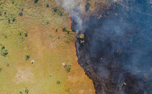
The efficient national monitoring of fuel conditions is critical to understand bushfire behaviour and risk as highlighted by the Bushfire Earth Observation Taskforce, the NSW Bushfire Inquiry and the National Royal Commission for Natural Disaster Arrangements.
This work has contributed towards compiling and sharing existing field and remote sensing observations of fuel attributes such as fuel load, structure and moisture in a national database. This national database is being used to improve remote sensing products and is publicly available to support other research programs. The national fuel attributes databases directly benefit bushfire planning and response, as the fuel data is readily available for assessing bushfire risk, predicting fire behaviour, informing suppression efforts and planning prescribed burns.
This project uses, contributes to and validates the harmonised and aggregated datasets from 2 other Bushfires Data Challenges projects:
In addition, it details the standard protocols to collect information on the key fuel attributes in the field with remote sensing data.
This project has contributed validated and more reliable data on fuel moisture to the Australian Flammability Monitoring System (AFMS). AFMS is the first national-scale, pre-operational fuel and soil moisture content and flammability monitoring system in Australia, delivering accurate spatial information in near-real time and providing a clear picture of vegetation and soil dryness across the Australian landscape. Access AFMS and learn more about the system.
Provision of reliable fuel load remote sensing products will further enhance bushfire response and strategic planning.
The project has also resulted in various publications:
This project adds to:
Watch a presentation (DC003) from Abolfazl Abdollahi, Project Manager, at the November 2023 Bushfire Data Challenges Forum, which described the project’s work in the following areas: