Aggregating and Harmonising Fuel Data on a National Scale
The Challenge
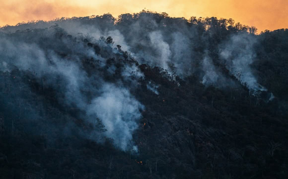
Fuel data describes the combustible materials in a defined space and its related attributes such as type, amount, structure and moisture. Accurate estimation of fuel, alongside information about the type of vegetation at a location, is key to managing and mitigating bushfire risk.
Multiple organisations across different jurisdictions collect and use fuel data. A coordinated approach and community standards are needed to harmonise, aggregate and share fuel data across different stakeholders.
The Approach
This project:
- performed comprehensive requirements gathering and gap analysis to make fuel attributes and fuel load data layers/products openly accessible
- established a framework for sustainable data sharing of fuel attributes and ready to use fuel load data assets
- developed a comprehensive roadmap for implementation of systems and processes for compiling and sharing fuel load data and related attributes
- piloted implementation to showcase access and use of some of the key primary datasets required to create fuel data parameters.
The Outcomes
Bushfire simulation developers now have access to improved fire behaviour predictions, leading to improved fire behavioural models. Access site-based observation data from the following bushfire surveys via EcoPlots:
- Kakadu National Park
- AusPlots Forest
- TERN Ecosystem Processes
- NSW Forest Monitoring.
API access is also available.
Who Will Benefit
- Australian Fire Danger Rating Scheme (AFDRS) and fire agencies now have access to improved fire behaviour predictions across jurisdictional boundaries.
- Bushfire simulation developers can improve fire behavioural models.
View the recording and slides (DC002) of a presentation given by Siddeswara Guru, Project Manager, at the November 2023 Bushfire Data Challenges Forum, which described the project’s work in the following areas:
- systematic analysis of existing fuel attribute data
- open-access data management framework with examples from EcoPlots.
The Partner
- Terrestrial Ecosystem Research Network (TERN)
Timeframe
Current Phase
ARDC Co-investment
Project lead
Categories
Research Topic
Related Resources
Related Content
- Historical Bushfire Boundaries: Aggregated and Harmonised Burnt Extent Fire History Data on a National Scale
- Improving Remote Sensing of Fuel Data on a National Scale
- Spark: A Fire Behaviour Modelling Platform
- Framework for Sharing Bushfire Data and Tools Between Jurisdictional Agencies
- Aggregated and Harmonised Fuel Data on a National Scale
- Bushfire Research Data Management Plans