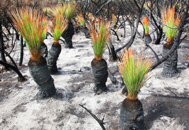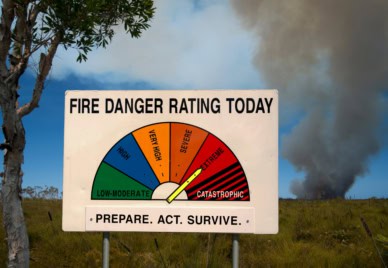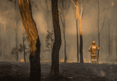
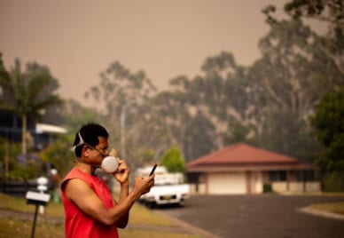
Aggregating and Integrating Data on Health Outcomes Associated with Bushfires at a National Scale
Exploreabout Aggregating and Integrating Data on Health Outcomes Associated with Bushfires at a National Scale

Drones provide sensing capabilities that address the critical scale-gap between ground and satellite-based observations.
Drone operations capture large amounts of data — far beyond an individual’s capability to manage without tools and systems to support the coordination of storage, information exchange, exploration and processing.
The Australian Scalable Drone Cloud (ASDC) project is establishing a national ecosystem for drone data management operating on FAIR principles.
Sensing capabilities will integrate with easy-to-use storage, processing, analysis and visualisation tools, transforming research-led contributions of data and tools into a drone data commons.
This will offer a competitive advantage for researchers through the ability to deliver near real-time, societally relevant information from live drone-acquired data.
The ASDC will have cloud-native drone data management and analytics capabilities for different imaging systems including hyperspectral, multispectral and RGB. Visualisation tools include interactivity with point cloud data in virtual and augmented reality.
Scalable containerised data management tools will enable upload, download and the provision of persistent links to sharing datasets easily.
The project will develop best-practice drone-data processing pipelines for 5 different use cases, which multiple research communities can reuse, promoting data standardisation.
The community-driven open ASDC will minimise the need for the development of bespoke solutions in drone data management by research and industry users in:
The ASDC will give the Australian research community a common platform to manage and access drone data, reuse processing pipelines, implement best-practice information architecture with cloud-native and HPC solutions, and collaborate with the international community at a platform level instead of individual domain level.
The ASDC will also enable wider use of drone data research by multiple research communities.
Visit the Australian Scalable Drone Cloud website.