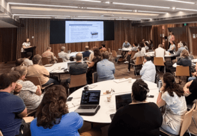
Workshop Addresses Wildlife Camera Trap, Ecoacoustic and Drone Data Challenges
Exploreabout Workshop Addresses Wildlife Camera Trap, Ecoacoustic and Drone Data Challenges
Imagine if we had accurate warning about the risk of bushfires, a week in advance.
Sound impossible?
A team of Australian researchers are on track to make it happen.
Scientists at Monash University and Australian National University (ANU) have used applied machine learning techniques and satellite imaging to create models to predict the moisture content of vegetation, a major determinant of bushfires.
Their recent results “have been remarkably accurate,” according to Professor Geoff Webb, Research Director at Monash University Data Futures Institute. “I’m quite surprised.”
The project, which uses the Australian Research Data Commons’ (ARDC) Nectar Research Cloud for some of its computational resources, involves predicting the live fuel moisture content (LFMC) of vegetation using satellite images. LFMC is an important factor for modelling fire behaviour and predicting potential fire areas. It also provides valuable information about climate change by improving knowledge about the relationships between climate, plants and wildfires.
The latest generation of satellites, which provide more frequent high-resolution Earth imaging than their predecessors, are rapidly increasing the amount of useful data for LFMC monitoring and bushfire prediction. This expanding wealth of information requires enormous computing power, which is where research infrastructures, such as Nectar Resource Cloud, come into play.
The initial phase of the project used MODIS (MODerate resolution Imaging Spectroradiometer) time series data, with a goal of creating a daily LFMC mapping system over the contiguous US.
The team’s model accurately identified the locations of four major southern Californian bushfires in 2017 as high-risk areas, two weeks prior to the fires, due their low LFMC.
The researchers concluded that areas with problematic fuel moisture content could be identified a week before a bushfire, within their targeted areas.
The next step in the project is to focus on forecasting LFMC. The team already has near real-time LFMC products for Europe, which are used to estimate emissions in the European Forest Fires Information System, and an Australian Flammability Monitoring System.
“However, we cannot yet forecast fuel flammability into the future,” said Marta Yebra, Research Fellow, ANU College of Science, “as the field measurements are still a limiting factor for training the machine learning algorithms.”
The hope is that once they have secured adequate funding, the team will be able to update Australian fire risk models in near real time.
The ARDC has just launched an initiative that also focuses on bushfires.
The new Bushfire Data Challenge program, a part of the organisation’s Translational Research Data Challenges initiative, is designed to develop innovative digital infrastructure solutions to current data challenges in bushfire research to help improve Australia’s bushfire resilience, response and recovery.